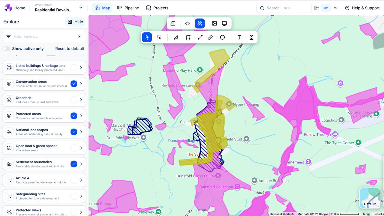
De-risk your development pipeline instantly with comprehensive planning constraints mapping
Overlay critical flood, heritage, ecology, and infrastructure boundaries to identify site constraints in a single click.
The hidden regulatory hurdles that stall development pipelines
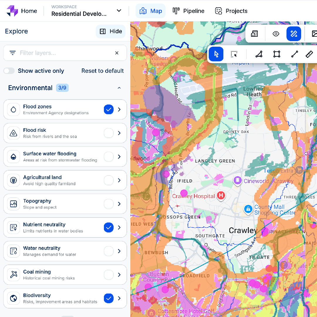
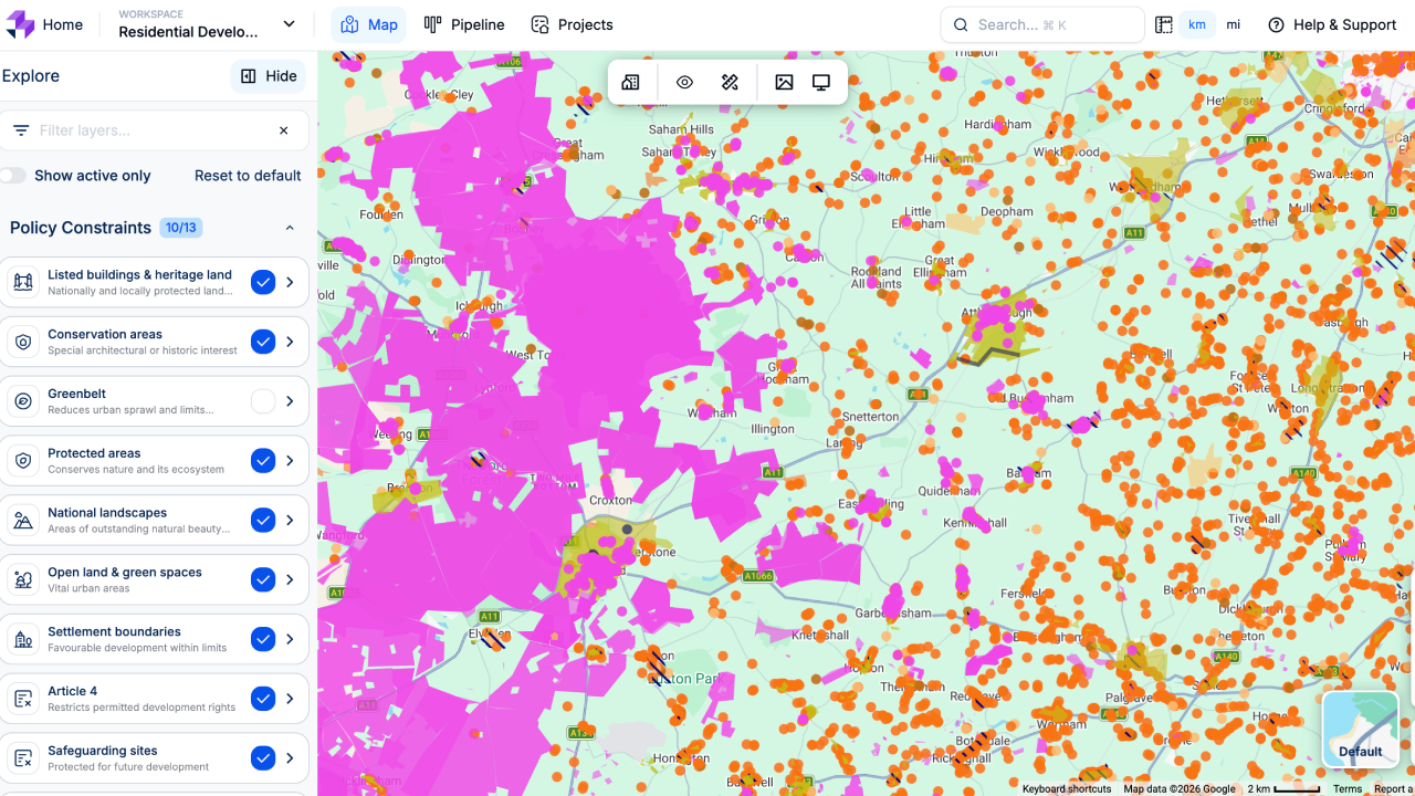
Relying on disjointed local authority portals to uncover planning constraints invites costly delays and unexpected project refusals. LandInsight solves this by centralising complex spatial datasets directly onto your map screen. In a single click, you can run rigorous upfront due diligence, diagnosing environmental, historic, and structural restrictions before sinking capital into unviable plots.
Intelligent data layers for rigorous site assessment
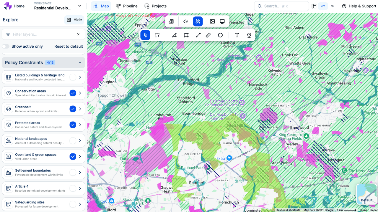
Environmental and ecology layers
Instantly map statutory designations like sites of special scientific interest (SSSIs), ancient woodlands, green belt boundaries, and local ecological buffers.
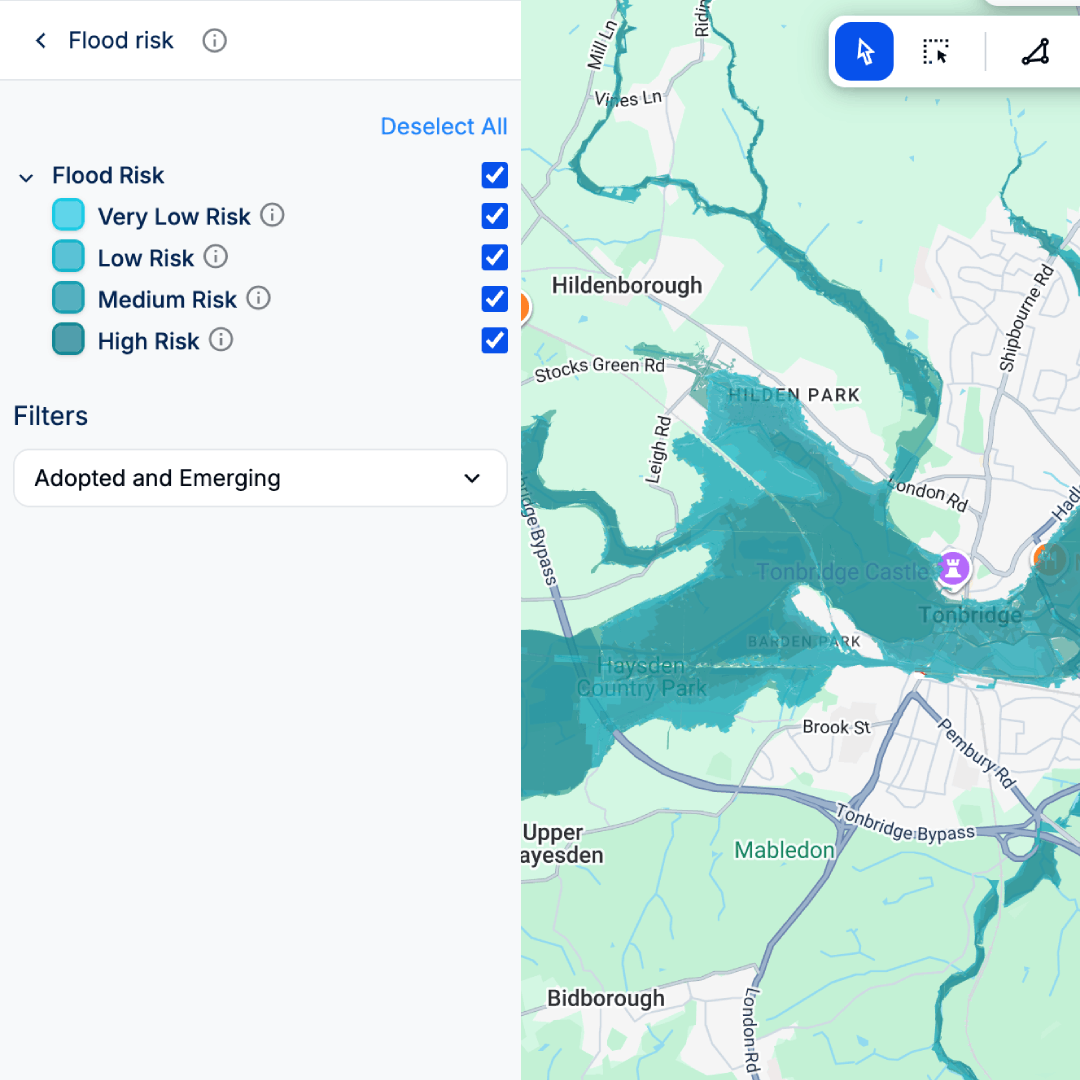
Flood risk and infrastructure diagnostics
View comprehensive Environment Agency flood zones, surface water risks, and proximity to critical national infrastructure or transport links.
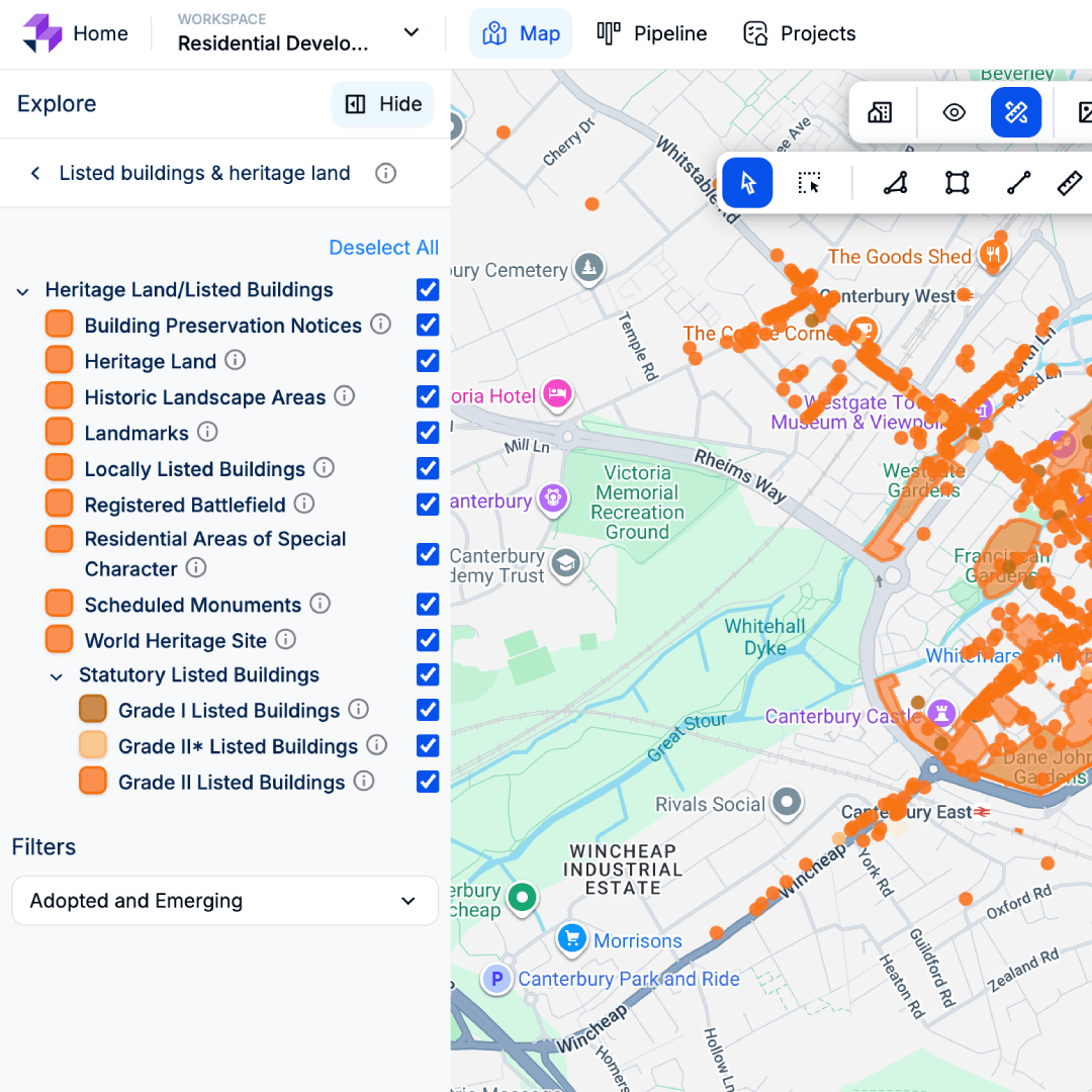
Heritage and conservation tracking
Identify listed buildings, scheduled monuments, and designated conservation areas that impose strict architectural constraints on your project layout.
Move faster, earlier, and with confidence.
Protect your capital from day one
Identify fatal site constraints before committing to a land purchase or investing heavily in architectural designs and formal planning applications.
Accelerate your site due diligence
Replace hours of fragmented research across multiple council websites with a unified, map-based diagnostic tool that evaluates constraints in seconds.
Build robust, compliant schemes
Understand local policy constraints from the outset, allowing your planning team to work harmoniously with ecological and historic restrictions for smoother approvals.
Take the guesswork out of site due diligence
Stop letting hidden planning constraints derail your projects. Harness LandInsight’s intelligent mapping to assess site viability instantly.