AtkinsRéalis
Better utility planning for your site, with data supplied by AtkinsRéalis directly into LandInsight.
AtkinsRéalis Introduction
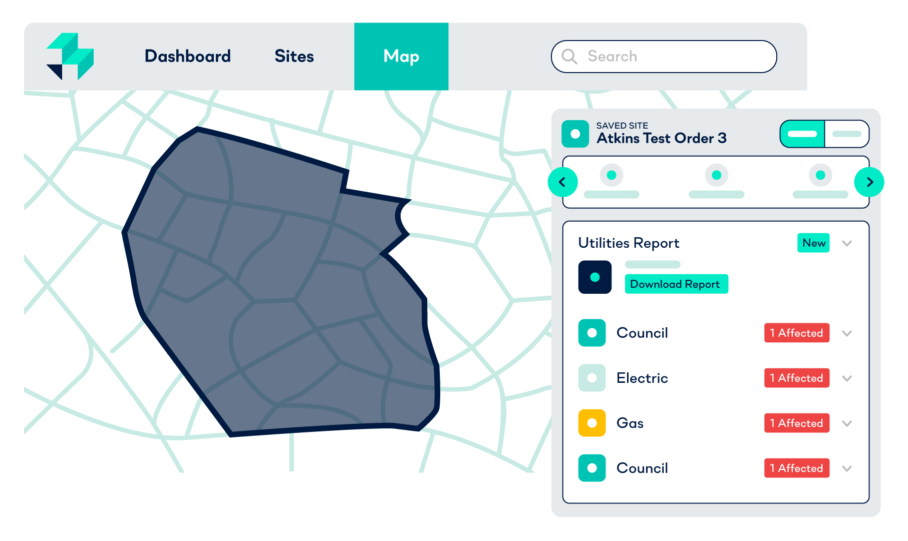
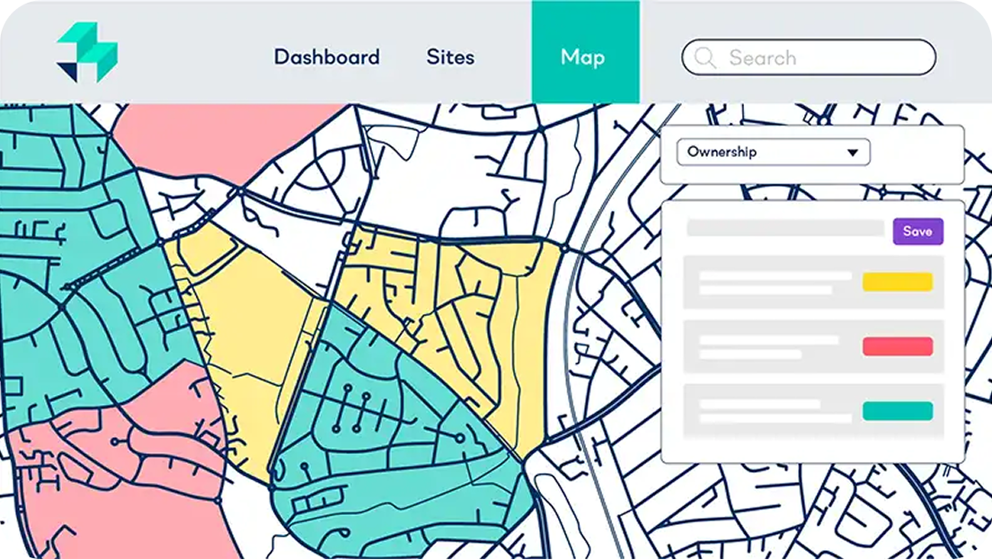
AtkinsRéalis provides enhanced utility reports and interactive map overlays, directly in LandInsight. By unveiling hidden constraints and infrastructure up front, this service helps you identify optimal sites, conduct thorough due diligence, and fully refine site viability assessments.
Request demo
Why use AtkinsRéalis?
Full clarity
Understand exactly where utilities like water, gas and electricity, run on your site so you can make faster, smarter sourcing decisions
Avoid risk
See utility routes in context, helping you unearth potential risks early and avoid costly surprises later
Seamless workflow integration
Overlay utility layers on the map and get detailed reports via site cards in LandInsight
How to get access
AtkinsRéalis is available as a paid On-Demand service for Starter, Pro and Unlimited LandInsight users
Request demo
Get started.
Request your LandTech ecosystem demo now.
Subsurface infrastructure shouldn't be a guessing game that surface-level assessments can't solve. By integrating AtkinsRéalis utility data directly into your LandInsight map, you move from speculative sourcing to precision planning. Whether you’re navigating complex urban layouts or rural connections, having instant access to authoritative utility overlays ensures you can design around constraints rather than discovering them during excavation.