BNGAi™ by AiDASH

AI-powered habitat mapping for fast, accurate biodiversity assessments that de-risk planning.
BNGA - v1
BNGA - v2

BNGAi™ by AiDASH Introduction

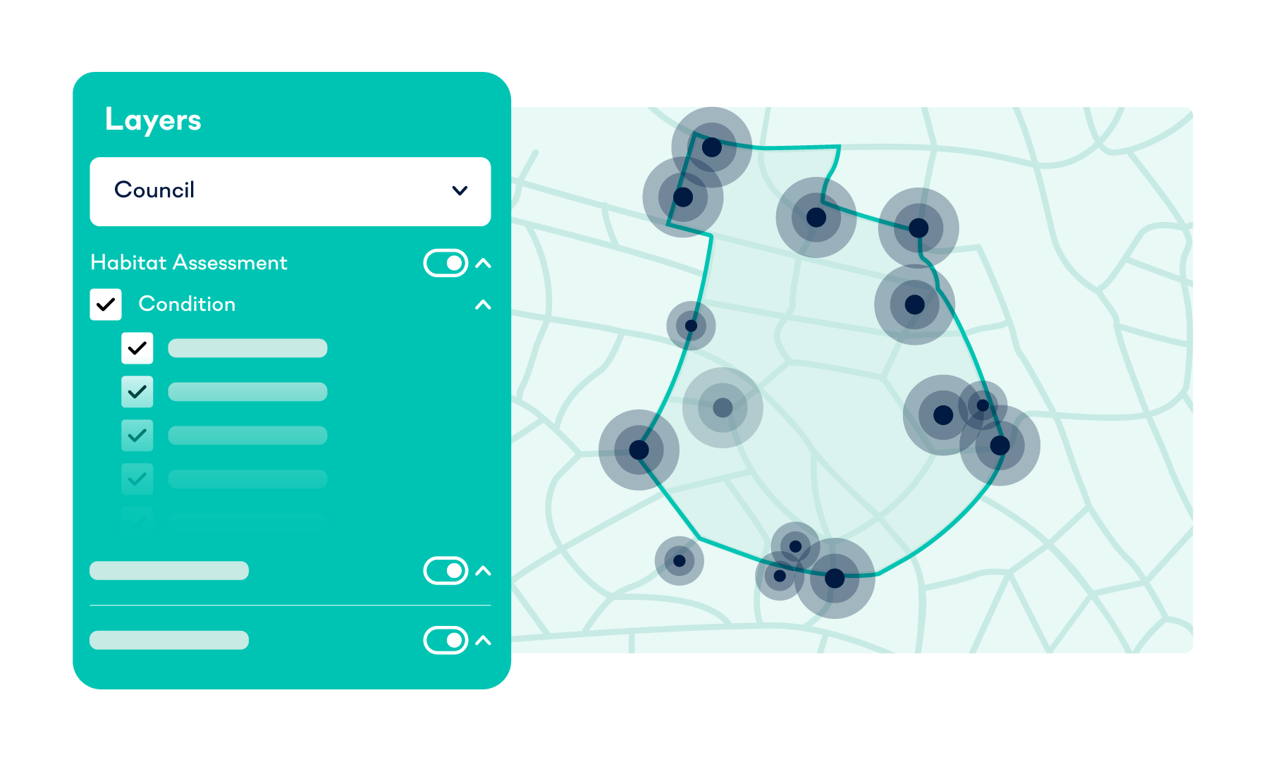
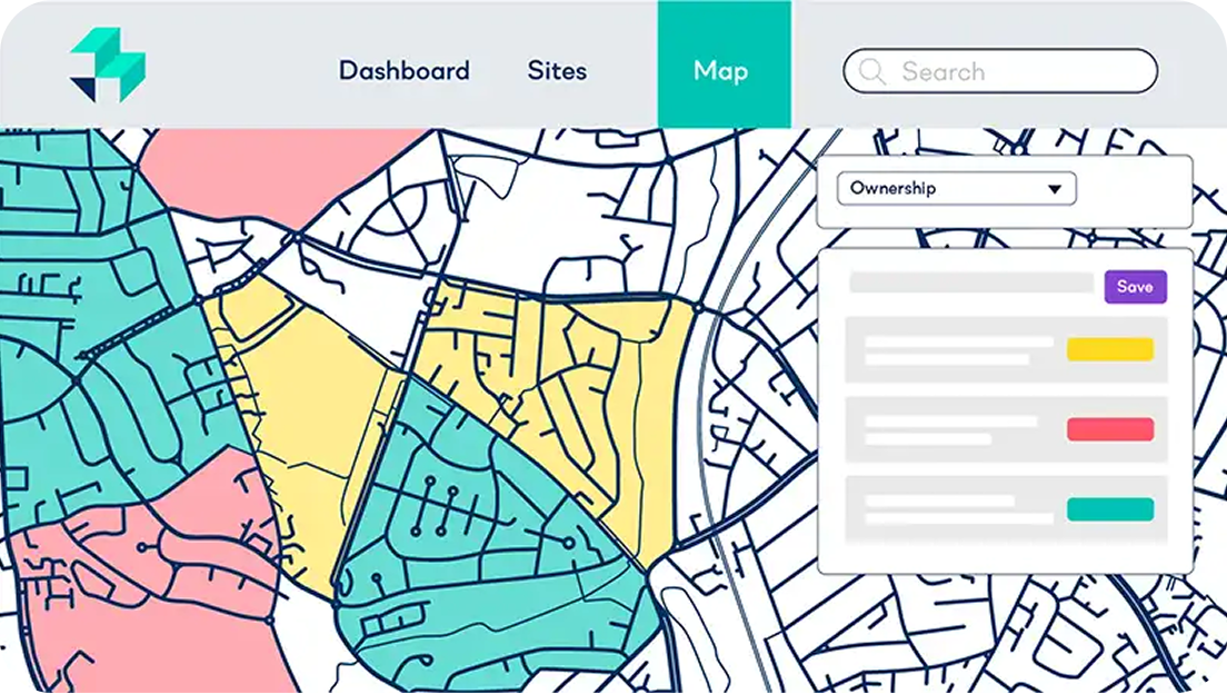
BNGAi™ by AiDASH simplifies Biodiversity Net Gain (BNG) management with AI-powered insights. Integrated into LandInsight, BNGAi gives you instant access to biodiversity baseline data so you can uncover risks, budget accurately and keep your projects on track.
Request demo

Why use BNGAi?

018-document03

Know your biodiversity feasibility

With a combination of satellite imagery and AI you’ll get a Defra-compliant baseline habitat assessment in days, not weeks
005-saving copy

Take the risk out of planning

Quickly identify habitats and potential biodiversity constraints, so you can avoid costly and time-consuming setbacks
002-document

Streamlined compliance

Create automated BNG plans, budget accurately for credits, and strengthen planning submissions with lender and planner-ready data
ao-graphic-3

How to get access

BNGAi™ is available as an On Demand tool for Starter, Pro and Unlimited LandInsight users.
Request demo

Get started.

Request your LandTech ecosystem demo now.

In a landscape where biodiversity requirements can make or break a deal, waiting weeks for manual surveys is a risk you don’t have to take. By integrating BNGAi™ into your LandTech workflow, you gain the clarity needed to evaluate sites instantly, predict costs accurately, and submit robust, data-backed applications.