If you’ve already read our white paper ‘A Data-Led Approach to Delivering 1.5 Million Homes, you’ll know just how much untapped potential sits in Britain’s Grey Belt. You’ll also know that with the right data (and the right timing) these overlooked sites could hold the key to meeting housing targets sustainably.
If you haven’t read it yet, no problem - you can download it here
Whether you're deep into site sourcing or just starting to explore the opportunity, the question remains:
How do you actually identify the right Grey Belt sites - quickly, confidently, and without wasting weeks on dead ends?
Here’s how to separate the promising from the problematic.
1: Understand what makes a site 'Grey Belt'
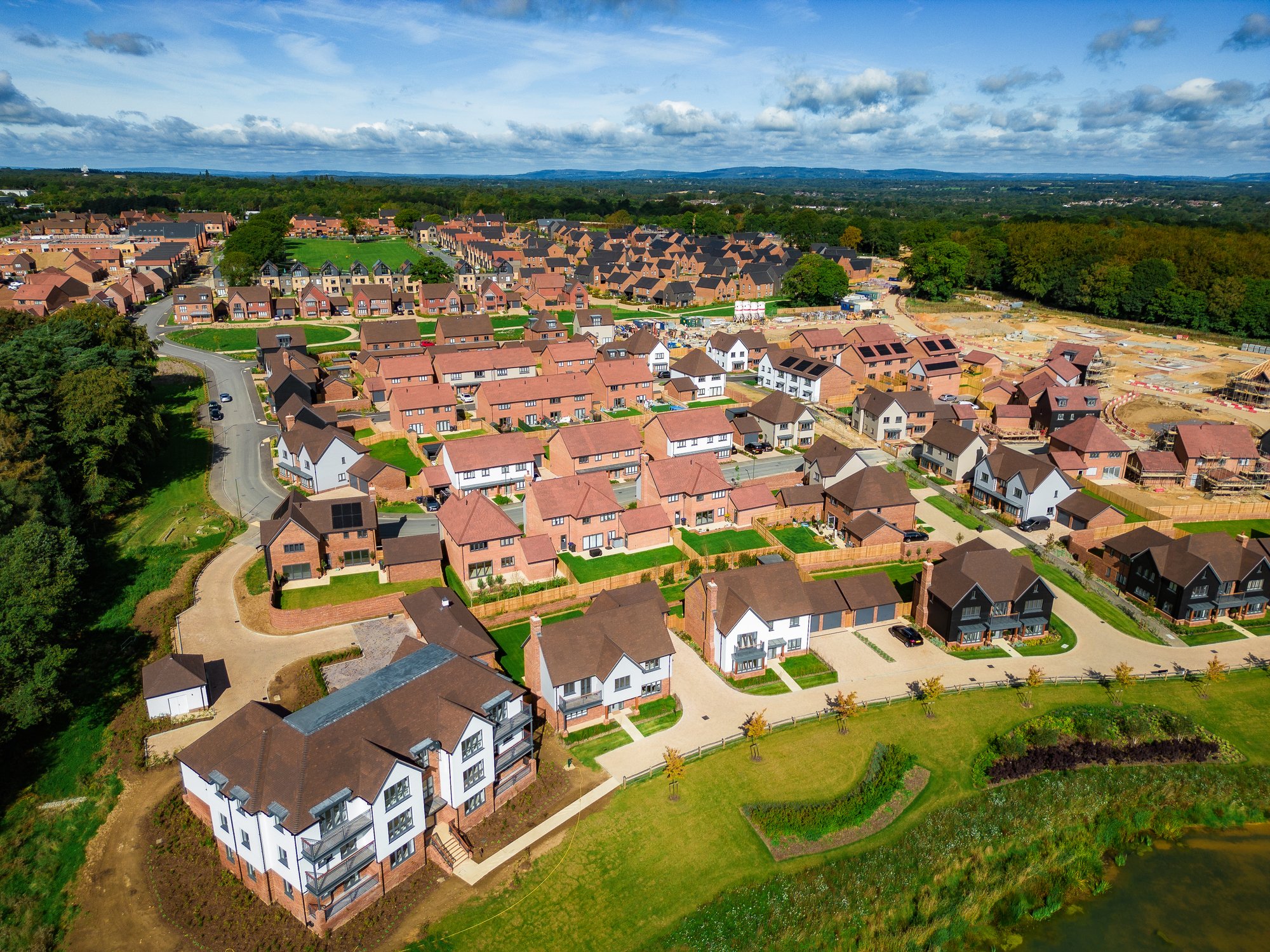
The draft NPPF has defined the Grey Belt as previously developed or underutilised land within the Green Belt that doesn't strongly serve its original purpose - things like car parks, storage yards, old industrial plots or disused buildings.
These sites often sit on the edge of existing urban areas and don’t contribute significantly to the five core Green Belt purposes. That means they can be strong candidates for sustainable development, provided they meet certain criteria.
LandInsight’s new Grey Belt and Declassified Green Belt layer filters for exactly these kinds of sites - so you’re not wasting time reviewing land that’s protected, impractical, or just plain impossible.
2: Start with land that's already been used
-
The NPPF update in late 2024 made one thing clear; not all Green Belt land is off-limits. There’s specific support for developing previously used land, especially when it’s well located and doesn’t affect openness.
That’s your first filter: look for land with signs of prior use. Think light industrial units, depots, car parks and small commercial premises. These are the sites planners are more likely to look favourably on.
With LandInsight, you can highlight these parcels in seconds using the new Grey Belt layer - no more guesswork.
3: Check policy and constraints upfront
-
There’s nothing worse than shortlisting a perfect-looking site, only to find it’s buried under layers of planning constraints.
With the new layer, you can instantly overlay key local policy and environmental data. That includes Green Belt boundaries, SSSIs, Article 4 Directions, conservation areas and ecological networks - all the usual tripwires.
We’ve also removed obviously unsuitable plots, like school playing fields or highways, so the land you see has real potential.
4: Use our bespoke site ranking system
Not all Grey Belt sites are equal - and some will always be a harder sell than others. That’s why we built a ranking system into the new layer, grading each site from Least to Most Favourable based on its development potential.
We’ve factored in:
- Proximity to infrastructure and transport
- Local housing affordability
- Agricultural land classification
- Access to amenities
- Surrounding land use
This saves hours of research and lets you focus on what matters most - sites that tick the right boxes for planners and communities alike.
5: Dig into planning history
Every site tells a story - and planning history can give you a head start.
If a site’s had applications rejected six times over the last decade, it might not be a write-off - but you’ll want to know why. Is it an issue of scale? Or has the land been designated as a community asset?
LandInsight’s Planning Overview tool gives you instant access to past applications, refusals and constraints - helping you build a stronger planning case, or spot trouble before it costs you time and money.
6. Check ownership and feasibility
Some sites are owned by one party. Others by a football team’s worth. Before you commit time to a site, make sure you understand the ownership structure.
Who owns it? Are there ransom strips? Is there clean access?
Our new Quick Insights feature pulls this all together so you can work out if a site’s a quick win or a long-term negotiation. And for speculative applications, that kind of clarity makes a big difference.
7. Look for political signals
Planning isn’t just about policy; it’s also about politics.
Some councils are actively reviewing their Green Belt boundaries and struggling to meet their housing targets. Others, frankly, aren’t interested.
Keep an eye out for:
- Local Plan consultations or revisions
- Five-year housing land supply issues
- Public statements about “meeting housing need responsibly”
Where that appetite exists, applications are more likely to move forward - and less likely to get stuck in the weeds at committee stage.
8. Why the Grey Belt layer is a game-changer
We didn’t just throw together a new data set. We worked closely with planning authorities, policy experts, and specialists in Green Belt development to build something that’s as practical as it is powerful.
It’s underpinned by:
- Expert-led methodology, developed with the Greater London Assembly and leading planning consultancies
- Accurate, up-to-date data, aligned with draft NPPF policy
- Seamless integration with LandInsight’s existing tools, from planning history to site ownership
You won’t find a better way to spot, assess and act on Grey Belt opportunities.
Final thoughts: Stop guessing. Start building.
Grey Belt development isn’t just a planning trend; it’s a strategic opportunity to build the homes the UK needs without sprawling further into untouched countryside.
And while other developers are still trying to piece together spreadsheets and PDFs, you could be assessing fully qualified sites with a few clicks.
The sooner you start, the more advantage you gain.
Ready to find your next site?
Use the Grey Belt and Declassified Green Belt layer in LandInsight to streamline your search and stay ahead of the curve.