
The Planning Innovation Summit conference brought together leading voices from government, academia, and industry to explore how technology and collaboration can transform planning. Across five panels, a few themes consistently surfaced: data standards, meaningful engagement, interoperability, and a focus on outcomes over process.
Here’s what stood out.
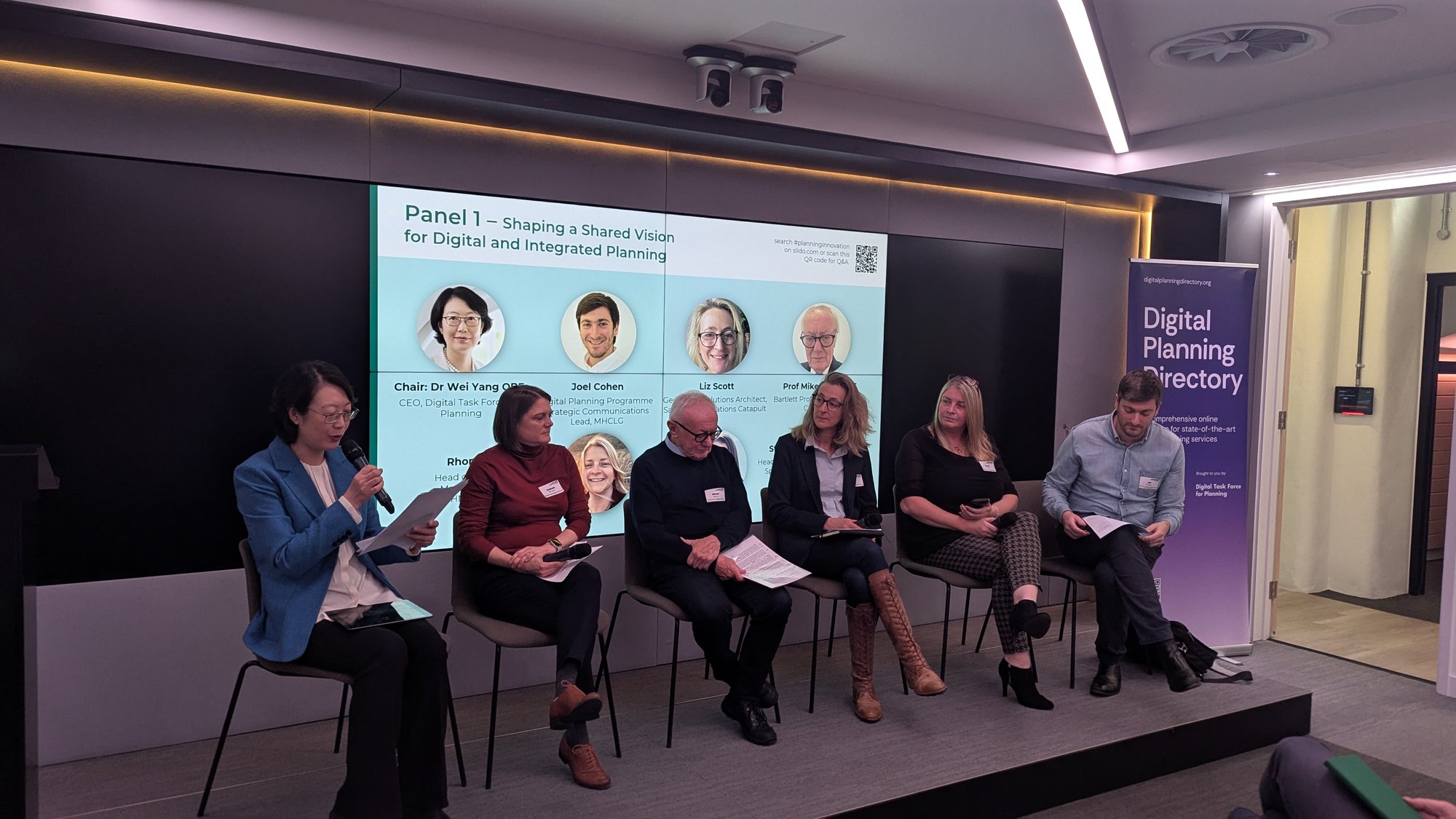
Panel 1: Digital Planning Foundations
Speakers from MHCLG, Satellite Applications Catapult, CASA UCL, HM Land Registry, and the British Geological Survey explored how digital tools are reshaping planning.
- More than 70 councils are now publishing spatial data on data.gov.uk, supported by the Digital Planning Programme’s push on development management, plan-making, and data standardisation.
- Satellite imagery and AI are already enabling us to track land use change, vegetation, pollution, and heat loss almost in real time.
- HM Land Registry’s work on digitising 26 million Local Land Charges is a strong example of data directly impacting buyers and builders.
- The BGS highlighted how geological and remediation risk data is essential to unlock brownfield development.
Takeaway: progress is happening, but consistent data standards remain the bedrock of any digital planning system.
Panel 2: Tools to Support Planners and Communities
This panel focused on user experience for both professionals and the public.
- Open Systems Lab reminded us that planners spend too much time not actually planning - tools should give them back space for strategic work.
- Commonplace showed how digital engagement often uncovers majority support for development. The challenge is mobilising those supportive voices.
- Urban Intelligence made the case for scalable solutions, not one-off pilots.
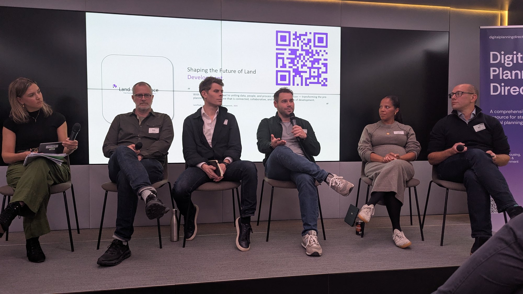
- LandTech launched Land Intelligence, our operating system for the development pipeline.
- UnBoxed championed open APIs and interoperability in back-office systems.
Takeaway: planning is a team sport, and scalable, open, and participatory tools are how we win together.
Panel 3: Transport and Spatial Integration
Transport remains one of planning’s biggest integration challenges.
- Campaign for Better Transport reminded us that London is still the only place where planning and transport integration is enshrined in law.
- DfT showed how their modelling can identify development “hotspots” and “notspots.”
- CIHT called out the language barriers between planning and transport professionals.
- Space Syntax demonstrated how multi-scale connectivity models reveal the role of accessibility in shaping opportunity.
Takeaway: spatial and transport planning must be inseparable if development is to work in practice.
Panel 4: Data, Consultation, and Strategy
Here, the focus shifted to politics, accountability, and the looming data challenge that is coming with Local Government Reorganisation and English Devolution.
- The Future Fox stressed that consultation has to deliver real outcomes, or risk communities disengaging altogether.
- RTPI research (conducted with Demos) suggests most communities are “Maybe In My Backyard” - open to development when presented with the right evidence.
- Greater Cambridge Shared Planning warned of a looming “data disaster” as councils merge systems with non-interoperable records.
Takeaway: we need a National Spatial Strategy and mandated data standards if we’re to avoid fragmentation and consultation fatigue.
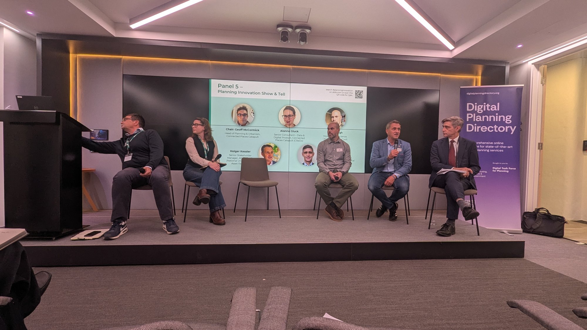
Panel 5: Connected Data, Connected Outcomes
The final session pulled the lens back to the systems level.
- CReDo, DfT, AtkinsRealis, and the National Digital Twin Programme all emphasised that outcomes must drive process.
- As Mark Enzer memorably put it: “the problems we’re facing are connected. If we don’t address them in a joined-up manner, we’re screwed.”
Takeaway: disconnected organisations and datasets won’t solve connected problems. We need to start with the end in mind.
Overall Reflection
Across every discussion, one message rang clear: the future of planning isn’t just about finding sites, publishing data, or building digital tools. It’s about joining the dots across systems, sectors, and scales, so that planning becomes not just digital, but truly connected.
Want to learn more about LandIntelligence? Sign up for our LandIntelligence launch webinar and be one of the first to see it in action.