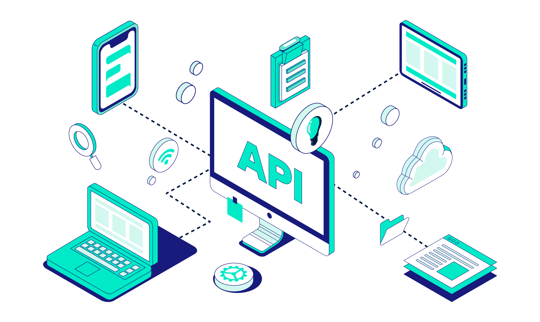
The LandTech API puts the full suite of LandTech data in your hands. With datasets ranging from planning constraints to utilities, ownership and more, you’ll have the power, and the freedom, to use our data in ways that go beyond our platform.
Find sites that meet your needs. Filter parcels by size, location and more key criteria - ideal for pinpointing potential sites for your next project, at scale. Use simple or advanced search to zero in on sites that match your project requirements.
Property Details
Access key property insights like building height, floor area, and EPC ratings - both current and potential. Get the building-level data you need to assess suitability, sustainability and potential.
Parcels
Get a snapshot of any parcel. See associated titles, planning applications, constraints, distance to power and power infrastructure - all in one place. Perfect for getting quick context on any piece of land, before diving deeper.
Ownership
Uncover detailed ownership data, including title numbers, lease info, and company ownership structure with persons of significant control, and make it easier to identify and contact landowners.
Planning Applications
Search and retrieve full planning application records, including type, status, number of dwellings, boundaries, appeal outcomes, and more.
Local Policy
Get in-depth local policy insights like housing delivery targets, Community Infrastructure Levy charges, 5 year housing land supply figures, and land designations like Employment Areas.
Development Constraints
Understand the limits with constraints data on everything from Green Belt to flood zones, Article 4 directions, heritage sites, and more. Easily identify red flags or areas that may require special permissions or considerations.
Development Opportunities
Tap into future potential with data on regeneration areas, brownfield registers, and declassified Green Belt sites. Great for spotting locations with strong development signals or future uplift potential.
Land Availability Assessments
Access data on sites that local authorities have flagged in their SHLAA and land availability studies. Filter out unviable sites and focus on land that's more likely to come forward for development.
Strategic Industrial Locations
Access data on areas that are designated in the Local Plan to be protected for commercial or industrial use, and where residential development may not be viable. Quickly eliminate land with restricted use and avoid wasting time on no-good sites.
Additional Opportunities
Get details of developable sites held by Homes England and all information, including: site name, reference, size, proposed use, housing capacity and more. Plus, see what sites are coming to market within the next 6 months, are already on the market, or sold STC.
Power
Dig deep into the details of substations, towers, cables, and lines - directly from the relevant DNO. Get substation type (grid, bulk, primary, HV), voltage, and capacity RAG status.
Energy Projects
See renewable energy projects over 150kW tracked through the planning system, with data sourced from the Renewable Energy Planning Database (REPD). Including solar, wind, battery and other renewables.
Why use LandTech API?
Integrate it your way
Whether it’s feeding our data into internal systems or powering customer-facing platforms, our API lets you do more, faster
Build your data bundle
Every project is different, so we let you tailor the API - and the data you see - to your specific needs
More data, more opportunities
Access everything from Property Details, Planning Applications and Ownership, to Local Policy, Land Availability Assessments and so much more
How to get access
LandTech API is available as a paid-for product, no LandInsight licence required.
Put the UK’s most comprehensive land and planning data to work on your own terms. Static platforms can only take you so far; for firms looking to scale, the LandTech API is the key to true operational transformation. By integrating our industry-leading datasets directly into your internal CRM, GIS, or proprietary valuation models, you eliminate manual data entry and create a "single source of truth" across your entire organisation.