Introduction: The Planning System
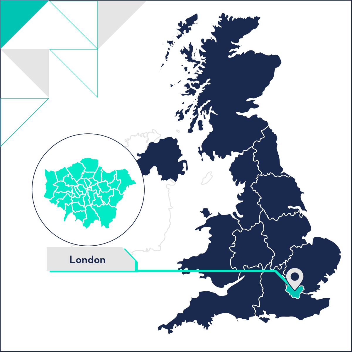
The UK's planning system is multi-faceted and there are many aspects that developers need to be aware of when operating in a specific region. In this section, we delve into the London Plan, planning approval rates, and local validation checklists.
The London Plan and Mayoral Election
Unlike most of the rest of the country, London has an additional level of planning policy, which is prepared and overseen by the Greater London Authority (GLA). The GLA have responsibility for the preparation of a Spatial Development Strategy, The London Plan, with which the Local Plans - produced by the Boroughs - must be in ‘general conformity’.
The London Plan outlines the Mayor’s vision and a strategic direction for development over the next 20 or 25 years. The current London Plan was prepared by Mayor Sadiq Khan and was adopted in 2021. Like other Development Plan Documents, the London Plan must be reviewed every five years.
2024 is an election year for the London Mayor, so whoever wins the next election will be likely to commence work on the next iteration of the London Plan before the Plan’s five-year review period in 2026.
In addition to plan making, the Mayor, through the GLA, has the ability to call in certain types of development, known as ‘Potentially Strategically Important’ (PSI) developments. These PSI developments must be referred to the Mayor as part of the planning process to see if the GLA wishes to intervene in the planning process. Types of PSI development that are referable under this mechanism include:
- Developments of over 150 houses or flats;
- Other developments with a floorspace of over 100,000 square metres (sq m) in the City of London, 20,000 sq m in the rest of Central London, or 15,000 sq m outside of Central London;
- Buildings higher than 25 metres (m) tall adjacent to the River Thames, 150m tall in the City of London, or 30m tall outside of the City of London;
- Developments that would increase the height of an existing building by more than 15m;
- Large mining or waste facilities and other infrastructure development.
Local Plan Status
Out of the 33 LPAs of London we have data on, 20 have their Local Plan under review. Out of those not under review, two (Harrow and Hillingdon) have not had their Local Plan updated since 2012.
Nine are at the ‘Examination in public’ stage, nine are at ‘Regulation 18’, two are at ‘Regulation 19’, and four are at ‘Pre Regulation 18’.
A breakdown of London’s Local Plan status can be found in the searchable table below.
Appeal Overturns
Appeal overturns can tell us the nature of a Local Planning Authority’s decision making process. A high rate of appeal overturns might reflect that the LPA’s decision-making process is out of step with the needs of communities and developers, or not consistent with the requirements of local or national policy.
It is one of two measures used by the government to measure planning departments’ performance.
Major Appeals
Overall, of the 365 major planning appeals from January 2016 to September 2021, 133 were overturned – or 36%. This means in London, almost one in three major applications are overturned on appeal.
When we break this down between Inner and Outer London:
Inner London has fewer major appeals, but a higher overturn rate – rising to four in ten overturned appeals, vs Outer London’s one in three.
Of all the boroughs, Wandsworth has the highest appeal overturn rate – 75%. This aligns with our analysis of appeals in 2021. Wandsworth (along with Westminster) had some of the longest-running appeals.
On the other hand, the following boroughs had zero of their appeals overturned:
Minor Appeals
Looking at the rest of the data, we get a picture of what’s happening with minor appeals.
From January 2016 to September 2021 London had 13,379 non-major appeals, with 4,340 overturned – or 32%.
This is similar to the picture for major appeals, however when we break things down to Inner and Outer London we see something different:
Inner London and Outer London barely differ – reflecting the trend overall – one in three appeals being overturned.
Barnet, on the outskirts of North London, has the highest overturn rate at 42%. On the other hand, on the opposite side of the river, and in Inner London – Southwark has the lowest overturn rate at 25%.
These numbers reflect the age of their Local Plans. Southwark adopted its core strategy in 2022, while Barnet’s was last adopted over a decade ago – 2012. This demonstrates that the best way for a council to protect itself from speculative development is to maintain an up to date local plan.
Local Validation Checklists
Published validation checklists for planning applications reflect the national, regional, and local policy drivers that are in place. Although some documents are required consistently across the country (e.g. a Design and Access Statement) and others are required consistently across London (e.g. a Circular Economy Statement), some reports are locally specific and reflect the nuances and local concerns of Councils regarding specific types of development.
As such, the detailed requirements for an application will vary from borough to borough, and will ultimately depend on the type and context of the development proposed.
We take a look at the Validation Checklists for a selection of boroughs to give you a flavour of what you might be required to produce in support of your planning application in London.
We looked at the validation requirements of two Inner London and two Outer London boroughs. As you can see from the variance of requirements shown, while some of the requirements are driven by national policy (e.g. the need for a Flood Risk Assessment in certain areas), others are driven by GLA policies (e.g. the need for a Circular Economy Statement for all referable applications).
Other requirements are driven by locally varied Supplementary Planning Documents, and these will vary from borough to borough (e.g. the need for a ‘Shisha Management Plan’ in LB Westminster or the need for a ‘Student Bursaries Assessment’ in LB Islington).
What should be clear from the checklist, is if you’re preparing a Major Planning Application, or a Referable Application in the Greater London area there is a lot of documentation required to support the application. And this weight of paper will be even greater for Environmental Impact Assessment Development applications that require the preparation of an Environmental Statement.
Green Belt and Other Constraints
Metropolitan open land (MOL) is a land designation exclusive to London. MOL has the same policy protection as Green Belt, and is protected from development unless in exceptional circumstances.
In this section, we take a look at which boroughs have the highest and lowest percentage of MOL and Green Belt. As well as, brownfield land designation across the city.
Metropolitan open land
London’s total land area adds up to 1,572 sq km – with 1,271 sq km in Outer London and 300 sq km in Inner London.
In an already constrained land area, over a third (35.35%) of London’s land is classified as MOL or Green Belt, throwing up more hurdles for developers.
Most of the MOL and Green Belt is in Outer London at 39.71%, compared to Inner London’s 18.58%.
Unsurprisingly, all of the top five boroughs are in Outer London on the very outskirts of the city where London’s Green Belt is located. These boroughs are:
- Bromley – 60.1%
- Richmond upon Thames – 56.5%
- Havering – 55.3%
- Enfield – 47.7%
- Hillingdon – 43.4%
Out of all of London’s boroughs, Bromley has the highest percentage of MOL and Green Belt – and when looking at the population density figures, this makes sense as Bromley had the lowest number of inhabitants per sq. km (2,197).
Greenwich has the highest percentage of Green Belt and MOL in the Inner London boroughs at 25.7%.
At the other end of the spectrum, the five boroughs with the lowest percentage of Green Belt and MOL are all in Inner London, including:
- City of London – 5.3%
- Islington – 6.3%
- Lambeth – 8.9%
- Tower Hamlets – 11.5%
- Kensington and Chelsea – 13.7%
Brent has the lowest percentage of Green Belt and MOL out of the Outer London boroughs at 17.80%.
When we look at this data compared to the Housing Delivery Test (HDT), we can see that the three boroughs with the lowest amount of Green Belt of MOL achieved above target for 2021. And three out of five of the boroughs with the highest percentage of Green Belt and MOL were below target.
However, outside of this, there is no direct correlation between the percentage of Green Belt land and MOL, and housing delivery.
In fact, Kensington and Chelsea, which only has 13.7% of its land designated as Green Belt or MOL, achieved the lowest percentage against their housing delivery target in 2021 at 43%. This puts their LPA under ‘presumption’ for the second year in a row as they have consistently missed their target since 2019.
So Green Belt land and MOL designations aren’t the only planning challenge blocking development in London.
Let’s take a look at brownfield land in London to see if this paints a clearer picture of what could be causing low housing delivery figures across some of London’s boroughs.
Brownfield land
The definition of brownfield land is provided by the NPPF as:
Land which is or was occupied by a permanent structure, including the curtilage of the developed land (although it should not be assumed that the whole of the curtilage should be developed) and any associated fixed surface infrastructure. This excludes: land that is or was last occupied by agricultural or forestry buildings; land that has been developed for minerals extraction or waste disposal by landfill, where provision for restoration has been made through development management procedures; land in built-up areas such as residential gardens, parks, recreation grounds and allotments; and land that was previously developed but where the remains of the permanent structure or fixed surface structure have blended into the landscape.
LPAs are required to maintain a list of Brownfield sites within their area. These sites are assessed as appropriate for development by an LPA.
In London, there are 2,681 hectares of brownfield land on the brownfield register ( excluding LLDC (London Legacy Development Corporation) and OPDC (Old Oak and Park Royal Development Corporation). Outer London has 1,880.67 hectares (1.46%) of land on the brownfield register and Inner London has 800.11 hectares (2.58%).
It’s important to note here, not all available brownfield land will be listed on the registers – and there will be brownfield opportunities to be found outside of what is selected by each LPA.
If all brownfield land on the register were to be used for new homes, it’s calculated that there’s the potential for 328,656 net new dwellings to be built in London.
Barnet has the largest area of brownfield land on their register – with 411.6 hectares (4.74%) designated as appropriate for development. Followed by Barking and Dagenham at 277.39 hectares, however, for the percentage of total land (7.34%) it came out on top.
This brownfield land allocation would provide the potential for 30,202 new dwellings to be added in Barnet and 23,488 new homes to be added in Barking and Dagenham.
Hounslow and Newham are both at the bottom of the scale when it comes to the percentage of brownfield land (0.19% and 0.23%).
Related Resources
If you've enjoyed the data insights about planning in London, check out our other reports for the region below:
- London: Population Changes, Density and Migration Patterns
- London: House Price Growth and Driving Factors