Introduction
The planning system in England is supposed to take a ‘brownfield first’ approach to developing land. We’re supposed to recycle sites that are already built on before we look at Grey Belt sites, and then other green field locations. Are we currently doing this?
It is widely accepted that more homes should be allowed near to transport hubs like train stations. ‘Transit Oriented Developments’ allow more people to be located where they can use existing infrastructure, existing train and bus services, and limit car use to those who need it most. To this end the Government recently concluded its consultation on ‘Brownfield Planning Passports’, where new ways of incentivising the redevelopment of existing well-connected sites is being explored.
As we uncovered in Location of Development 4, produced in partnership with the Royal Town Planning Institute, over the past decade we have not been very good at delivering homes in well-connected places.
Incentivising the redevelopment of sustainably located, previously developed land (whether through ‘Brownfield Planning Passports’ or any other means) is necessary to arrest our historic inability to deliver homes in the right places.

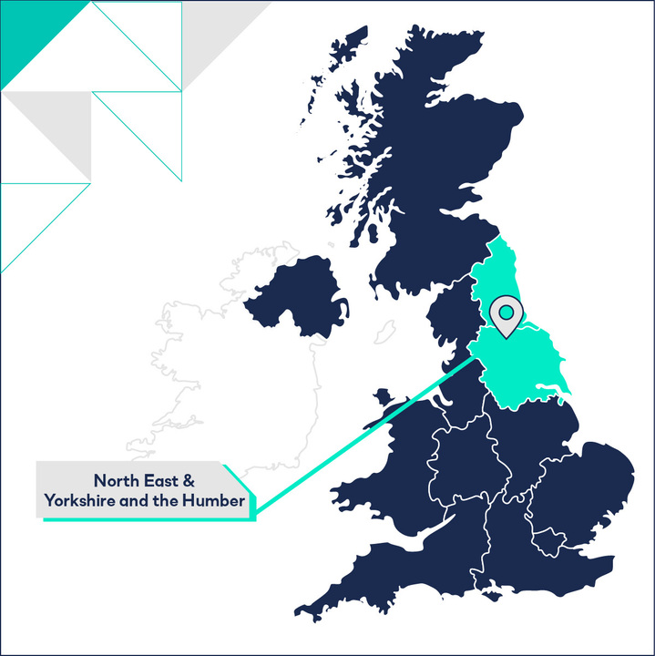
What does this mean for Yorkshire & the Humber?
Delivering Homes in Well-Connected Places
We have taken a data-led approach to identifying places that could provide homes for more people through the gentle densification of existing well-connected sites. Our research has identified an opportunity to deliver nearly one million additional homes in England and Wales, all within 1km of an urban train station, without significantly changing the prevailing local density.
In Yorkshire and the Humber this means that over 50,000 homes could be introduced around existing train stations without any significant change to the prevailing local character. The LPAs that could accommodate the biggest uplift include North East Lincolnshire, Sheffield, and Scarborough. A full summary of brownfield potential in Yorkshire and the Humber is provided below.
Our approach
At LandTech, we have applied the spatial data that we have at our disposal to identify areas in existing cities that could accommodate some uplift in dwelling density. We have done this by looking at land around existing train stations. We have removed from consideration areas of land that are ‘constrained’ and therefore would not be able to accommodate additional development¹, we have then taken a measure of the median dwelling density in the remaining areas.
We’ve done this analysis using Output Areas, meaning that each parcel accommodates between 40 and 250 households. We have only looked at Output Areas that are classed by the ONS as ‘urban’ to focus the analysis on brownfield land (i.e. land that is already built up).
This output has allowed us to identify areas that could accommodate additional density without exceeding the locally set density average, and allowed us to estimate how many additional dwellings could be accommodated.
The table provides a summary of the additional dwellings that could be accommodated in the LPAs across the region. LPAs that are currently not able to meet their housing need, or that have recently had increases in their Standard Method housing requirement are noted.
¹ The constraints considered include: National Landscapes, National Parks, Ancient Woodland, Strategic Industrial Land, Locally significant industrial sites, Conservation Areas, Metropolitan Open Land, Green Belt, SSSIs, SACs, SPAs, Ramsar sites, Common Land, Nationally and Locally Listed buildings (including an appropriate buffer), Sites of Local and Borough Importance for Nature Conservation (LINCs/BINCs), Medium and High flood risk areas, World Heritage Sites, Priority Habitats, Scheduled Ancient Monuments, Historic Battlefields, Protected Parks and Gardens, National Nature Reserves, Local Nature Reserves, water features, Open Access land, Active landfill sites, Historical landfill sites, protected open space e.g. Green Wedges, land safeguarded for transport infrastructure, Functional sites e.g. schools, prisons, energy infrastructure, Historic Landscape Areas (Wales only), industrial estates, retail estates, topographically unsuitable areas e.g. valley sides, and Best and Most Versatile agricultural land.
Related Resources
If you've enjoyed the data insights about Yorkshire & the Humber, check out our other planning reports for the region below:
- North East & Yorkshire and the Humber: Strategic Land
- North East & Yorkshire and the Humber: Land Constraints
- North East & Yorkshire and the Humber: Demographics, Density & Migration Patterns
- North East & Yorkshire and the Humber: House Price Growth & Affordability
- North East & Yorkshire and the Humber: Strategic Land